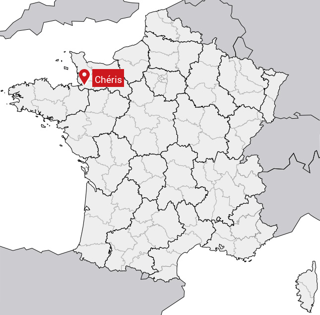
Présentation de Chéris
Le village de Chéris se trouve dans le département français de la Manche (50) en région Basse-Normandie, dans la nouvelle région Normandie.
Chéris compte environ 300 habitants, sa superficie est de 5.87 km². Son altitude par rapport au niveau de la mer est comprise entre 12 et 140 m.Sa densité de population était de 45 hab./km² en 2010 (Source INSEE)
Code postal de Chéris: 50220
Localisation en France
Département et Région: (50) Manche, Basse-Normandie (Normandie)À voir à Chéris
Avis des habitants 0
Aucun avis. Soyez le premier à laisser votre avis.
Informations sur Chéris
Code INSEE: 50132 - Nom SOUNDEX: L262 - Nom METAPHONE: LSXRS
Population de la commune:
Population en 1999: 235 habitantsPopulation en 2010: 266 habitants +1.2%/an
Population en 2016: 285 habitants (Estimation)
Carte
Coordonnées GPS de Chéris en degrés: Latitude: 48.6333° Longitude: -1.25°
Communes aux alentours
- Saint-Aubin-de-Terregatte (50) à 6.7 km
- Ducey (50) à 4.1 km
- Saint-Loup (50) à 5.2 km
- La Godefroy (50) à 6.7 km
- Plomb (50) à 11.7 km
- Tirepied (50) à 9.4 km
- Saint-Laurent-de-Terregatte (50) à 7.4 km
- La Gohannière (50) à 7.4 km
- Le Mesnil-Ozenne (50) à 3.9 km
