Présentation de Laudrefang
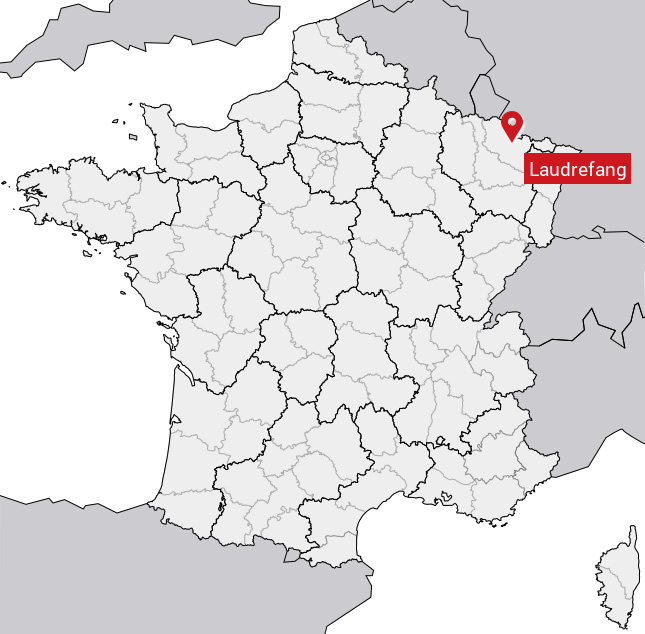
Le village de Laudrefang se trouve dans le département français de la Moselle (57) en région Lorraine, dans la nouvelle région Grand Est.
Laudrefang compte environ 400 habitants, sa superficie est de 4.7 km². Son altitude par rapport au niveau de la mer est comprise entre 305 et 394 m.Sa densité de population était de 77 hab./km² en 2010 (Source INSEE)
Code postal de Laudrefang: 57114
Localisation en France
Département et Région: (57) Moselle, Lorraine (Grand Est)À voir à Laudrefang
Avis des habitants 0
Aucun avis. Soyez le premier à laisser votre avis.
Informations sur Laudrefang
Code INSEE: 57386 - Nom SOUNDEX: L36152 - Nom METAPHONE: LTRFNK
Population de la commune:
Population en 1999: 387 habitantsPopulation en 2010: 364 habitants -0.54%/an
Population en 2016: 352 habitants (Estimation)
Carte
Coordonnées GPS de Laudrefang en degrés: Latitude: 49.0833° Longitude: 6.63333°
Communes aux alentours
- Créhange (57) à 5.2 km
- Bambiderstroff (57) à 4.1 km
- Obervisse (57) à 8.3 km
- Faulquemont (57) à 4.4 km
- Boucheporn (57) à 7.8 km
- Bisten-en-Lorraine (57) à 9.6 km
- Adelange (57) à 9.3 km
- Vahl-lès-Faulquemont (57) à 5.7 km
- Tritteling-Redlach (57) à 2.2 km
- Boustroff (57) à 9.3 km

