Présentation de Saint-Bohaire
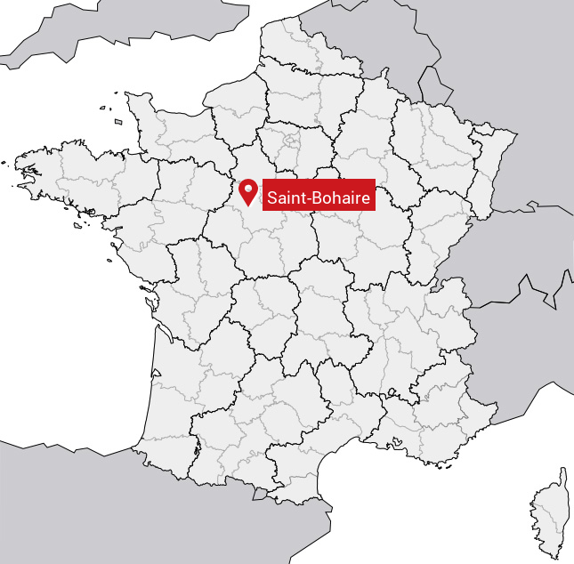
Le village de Saint-Bohaire se trouve dans le département français du Loir-et-Cher (41) en région Centre, dans la nouvelle région Centre-Val de Loire.
Saint-Bohaire compte environ 400 habitants, sa superficie est de 14.06 km². Son altitude par rapport au niveau de la mer est comprise entre 85 et 123 m.Sa densité de population était de 33 hab./km² en 2010 (Source INSEE)
Code postal de Saint-Bohaire: 41330
Localisation en France
Département et Région: (41) Loir-et-Cher, Centre (Centre-Val de Loire)À voir à Saint-Bohaire
Monuments historiques
Il y a un monument historique à voir à Saint-Bohaire.
Eglise Saint-Bohaire41330 Saint-Bohaire  |
Tout afficher
Avis des habitants 0
Aucun avis. Soyez le premier à laisser votre avis.
Informations sur Saint-Bohaire
Code INSEE: 41203 - Nom SOUNDEX: S5316 - Nom METAPHONE: SNTBHR
Population de la commune:
Population en 1999: 361 habitantsPopulation en 2010: 472 habitants +2.8%/an
Population en 2016: 551 habitants (Estimation)
Carte
Coordonnées GPS de Saint-Bohaire en degrés: Latitude: 47.65° Longitude: 1.26667°
Communes aux alentours
- Chambon-sur-Cisse (41) à 10.0 km
- Villefrancœur (41) à 6.7 km
- Molineuf (41) à 7.8 km
- Saint-Lubin-en-Vergonnois (41) à 4.5 km
- La Chapelle-Vendômoise (41) à 2.2 km
- Champigny-en-Beauce (41) à 7.5 km
- Saint-Sulpice-de-Pommeray (41) à 5.6 km
- Rhodon (41) à 11.1 km
- Fossé (41) à 2.2 km
