Présentation de Carantilly
Le village de Carantilly
est situé dans le département
de la Manche
(50),
en région
Normandie, anciennement en Basse-Normandie.
Il
appartient au canton de Saint-Lô-2, et fait parti de la Communauté d'agglomération Saint-Lô Agglo.
Carantilly est une commune rurale hors agglomération. Il compte environ 619 habitants pour une superficie de 10.79 km². Son altitude varie entre 67 m et 119 m.
La commune s’inscrit dans un territoire rural à habitat dispersé, caractérisé par des habitations espacées. Sa densité de population est de 57.0 hab./km².
Le prix moyen de l'immobilier à Carantilly est de 1002 €/m2.
Les habitants de Carantilly se nomment les Carantillais.
Code postal de Carantilly : 50570
Évolution démographique
Localisation de Carantilly en France
Département et région : (50) Manche, Basse-Normandie (Normandie)
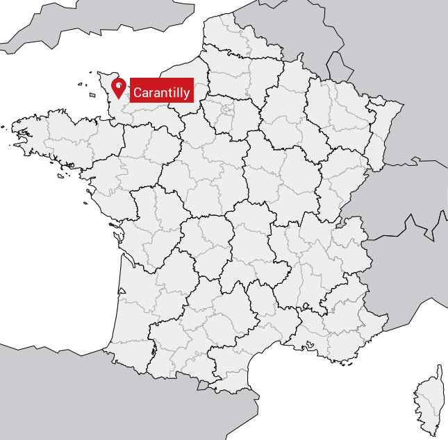
Carte de Carantilly
Coordonnées GPS de Carantilly : Latitude 49.066° N · Longitude -1.25° E
Informations sur Carantilly
Code INSEE : 50098 SOUNDEX : C6534 METAPHONE : KRNTL
Communes aux alentours de Carantilly
Avis des habitants (0)
Aucun avis. Soyez le premier à laisser votre avis sur Carantilly.