Présentation de La Chapelle-Faucher
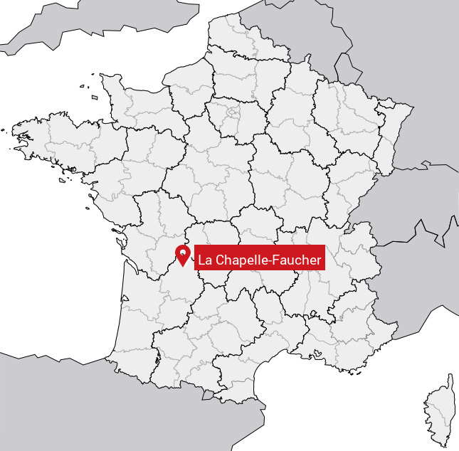
Le village de La Chapelle-Faucher se trouve dans le département français de la Dordogne (24) en région Aquitaine, dans la nouvelle région Aquitaine-Limousin-Poitou-Charentes.
La Chapelle-Faucher compte environ 400 habitants, sa superficie est de 18.4 km². Son altitude par rapport au niveau de la mer est comprise entre 114 et 213 m.Sa densité de population était de 21 hab./km² en 2010 (Source INSEE)
Code postal de La Chapelle-Faucher: 24530
Localisation en France
Département et Région: (24) Dordogne, Aquitaine (Aquitaine-Limousin-Poitou-Charentes)À voir à La Chapelle-Faucher
Monuments historiques
Il y a 4 monuments inscrits au patrimoine historique à voir à La Chapelle-Faucher.
Château de la Chapelle-FaucherR.D. 78, 24530 Chapelle-Faucher (La)  |
Eglise Notre-Dame24530 Chapelle-Faucher (La)  |
Eglise de Jumilhac-le-Petit24530 Chapelle-Faucher (La)  |
Prieuré de Notre-Dame de Puymartin24530 Chapelle-Faucher (La)  |
Tout afficher
Avis des habitants 0
Aucun avis. Soyez le premier à laisser votre avis.
Informations sur La Chapelle-Faucher
Code INSEE: 24107 - Nom SOUNDEX: L214126 - Nom METAPHONE: LXPLFXR
Population de la commune:
Population en 1999: 400 habitantsPopulation en 2010: 394 habitants -0.14%/an
Population en 2016: 391 habitants (Estimation)
Carte
Coordonnées GPS de La Chapelle-Faucher en degrés: Latitude: 45.3667° Longitude: 0.75°
Communes aux alentours
- Condat-sur-Trincou (24) à 3.2 km
- Agonac (24) à 9.3 km
- Eyvirat (24) à 5.6 km
- Villars (24) à 5.6 km
- Saint-Front-d'Alemps (24) à 6.1 km
