Présentation de Fournet-Blancheroche
Le village de Fournet-Blancheroche
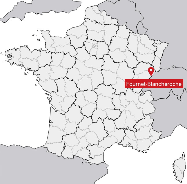
est situé dans le département
du Doubs
(25),
en région
Bourgogne-Franche-Comté, anciennement en Franche Comté.
Il
appartient au canton de Maîche, et fait parti de la Communauté de communes du Pays de Maîche.
Fournet-Blancheroche est une commune rurale hors agglomération. Il compte environ 350 habitants pour une superficie de 13.14 km². Son altitude varie entre 574 m et 1031 m.
La commune s’inscrit dans un territoire rural à habitat dispersé, caractérisé par des habitations espacées. Sa densité de population est de 27.0 hab./km².
Les habitants de Fournet-Blancheroche se nomment les Fournets, Fournettes.
Code postal de Fournet-Blancheroche : 25140
Évolution démographique
Localisation de Fournet-Blancheroche en France
Département et région : (25) Doubs, Franche Comté (Bourgogne-Franche-Comté)
Carte de Fournet-Blancheroche
Coordonnées GPS de Fournet-Blancheroche : Latitude 47.166° N · Longitude 6.825° E
Informations sur Fournet-Blancheroche
Code INSEE : 25255 SOUNDEX : F653145262 METAPHONE : FRNTBLNXRX
Communes aux alentours de Fournet-Blancheroche
Avis des habitants (0)
Aucun avis. Soyez le premier à laisser votre avis sur Fournet-Blancheroche.