Présentation de Monthuchon
Le village de Monthuchon
est situé dans le département
de la Manche
(50),
en région
Normandie, anciennement en Basse-Normandie.
Il
appartient au canton de Coutances, et fait parti de la Communauté de communes Coutances Mer et Bocage.
Monthuchon est une commune rurale hors agglomération. Il compte environ 699 habitants pour une superficie de 7.83 km². Son altitude varie entre 69 m et 176 m.
La commune s’inscrit dans un territoire rural à habitat dispersé, caractérisé par des habitations espacées. Sa densité de population est de 89.0 hab./km².
Le prix moyen de l'immobilier à Monthuchon est de 1326 €/m2.
Les habitants de Monthuchon se nomment les Monthuchonnais.
Code postal de Monthuchon : 50200
Évolution démographique
Localisation de Monthuchon en France
Département et région : (50) Manche, Basse-Normandie (Normandie)
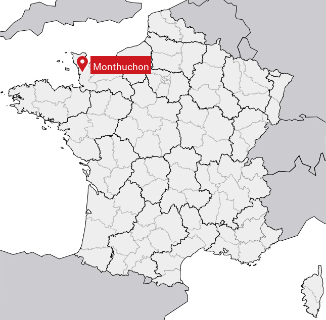
Carte de Monthuchon
Coordonnées GPS de Monthuchon : Latitude 49.088° N · Longitude -1.42° E
Informations sur Monthuchon
Code INSEE : 50345 SOUNDEX : M325 METAPHONE : MN0XN
Communes aux alentours de Monthuchon
Avis des habitants (0)
Aucun avis. Soyez le premier à laisser votre avis sur Monthuchon.