Présentation de Saint-Amand-Villages
Le village de Saint-Amand-Villages
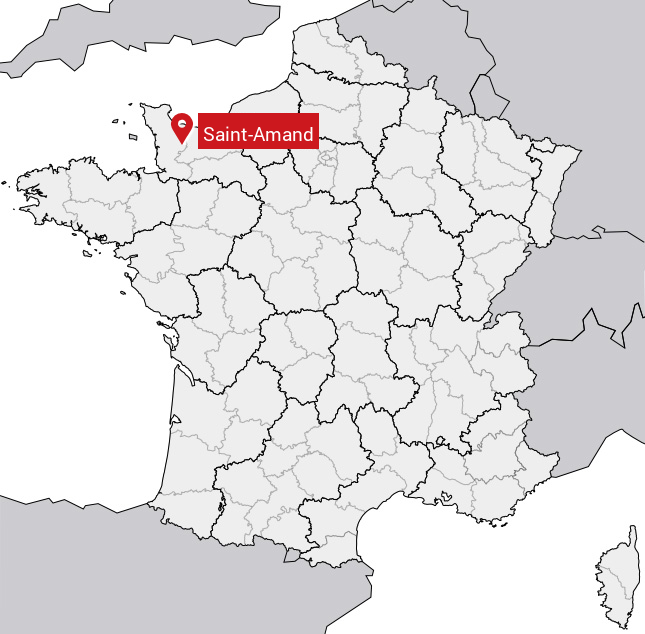
est situé dans le département
de la Manche
(50),
en région
Normandie, anciennement en Basse-Normandie.
Il
appartient au canton de Condé-sur-Vire, et fait parti de la Communauté d'agglomération Saint-Lô Agglo.
Saint-Amand est une commune située dans l’agglomération de Torigny-les-Villes. Il compte environ 2 520 habitants pour une superficie de 29.35 km². Son altitude varie entre 43 m et 218 m.
La commune s’inscrit dans un territoire rural à habitat dispersé, caractérisé par des habitations espacées. Sa densité de population est de 86.0 hab./km².
Le prix moyen de l'immobilier à Saint-Amand-Villages est de 1007 €/m2.
Les habitants de Saint-Amand-Villages se nomment les Saint-Amandais.
Code postal de Saint-Amand-Villages : 50160
Évolution démographique
Localisation de Saint-Amand-Villages en France
Département et région : (50) Manche, Basse-Normandie (Normandie)
À voir à Saint-Amand
Musées de Saint-Amand
Il y a 3 musées à visiter à Saint-Amand.
Monuments historiques de Saint-Amand
Il y a un monument historique à voir à Saint-Amand.
|
Eglise de Saint-Symphorien-les-Buttes
50160 Saint-Amand
|
Carte de Saint-Amand-Villages
Coordonnées GPS de Saint-Amand-Villages : Latitude 49.044° N · Longitude -0.948° E
Informations sur Saint-Amand
Code INSEE : 50444 SOUNDEX : S5353 METAPHONE : SNTMNT
Communes aux alentours de Saint-Amand-Villages
Avis des habitants (0)
Aucun avis. Soyez le premier à laisser votre avis sur Saint-Amand.