Présentation de Saint-André-d'Hébertot
Le village de Saint-André-d'Hébertot
est situé dans le département
du Calvados
(14),
en région
Normandie, anciennement en Basse-Normandie.
Il
appartient au canton de Pont-l'Évêque, et fait parti de la Communauté de communes Terre d'Auge.
Saint-André-d'Hébertot est une commune rurale hors agglomération. Il compte environ 451 habitants pour une superficie de 9.88 km². Son altitude varie entre 23 m et 146 m.
La commune s’inscrit dans un territoire rural à habitat dispersé, caractérisé par des habitations espacées. Sa densité de population est de 46.0 hab./km².
Le prix moyen de l'immobilier à Saint-André-d'Hébertot est de 1416 €/m2.
Les habitants de Saint-André-d'Hébertot se nomment les Andrébertotois.
Code postal de Saint-André-d'Hébertot : 14130
Évolution démographique
Localisation de Saint-André-d'Hébertot en France
Département et région : (14) Calvados, Basse-Normandie (Normandie)
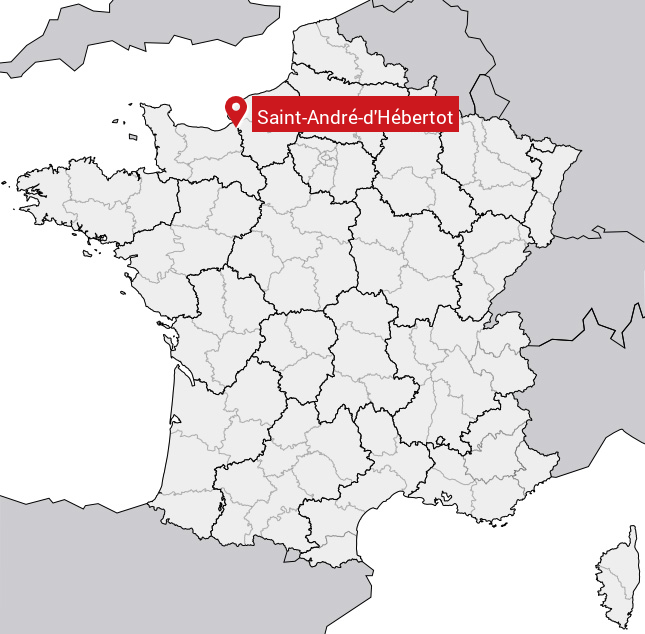
Carte de Saint-André-d'Hébertot
Coordonnées GPS de Saint-André-d'Hébertot : Latitude 49.303° N · Longitude 0.292° E
Informations sur Saint-André-d'Hébertot
Code INSEE : 14555 SOUNDEX : S535363163 METAPHONE : SNTNTRTHBRTT
Communes aux alentours de Saint-André-d'Hébertot
Avis des habitants (0)
Aucun avis. Soyez le premier à laisser votre avis sur Saint-André-d'Hébertot.