Présentation de la Chapelle-Bertrand
Le village de la Chapelle-Bertrand
est situé dans le département
du Deux-Sèvres
(79),
en région
Nouvelle-Aquitaine, anciennement en Poitou-Charente.
Il
appartient au canton de Parthenay, et fait parti de la Communauté de communes de Parthenay-Gâtine.
La Chapelle-Bertrand est une commune rurale hors agglomération. Il compte environ 461 habitants pour une superficie de 19.45 km². Son altitude varie entre 123 m et 254 m.
La commune s’inscrit dans un territoire rural à habitat dispersé, caractérisé par des habitations espacées. Sa densité de population est de 24.0 hab./km².
Le prix moyen de l'immobilier à Chapelle-Bertrand est de 990 €/m2.
Code postal de la Chapelle-Bertrand : 79200
Évolution démographique
Localisation de la Chapelle-Bertrand en France
Département et région : (79) Deux-Sèvres, Poitou-Charente (Aquitaine-Limousin-Poitou-Charentes)
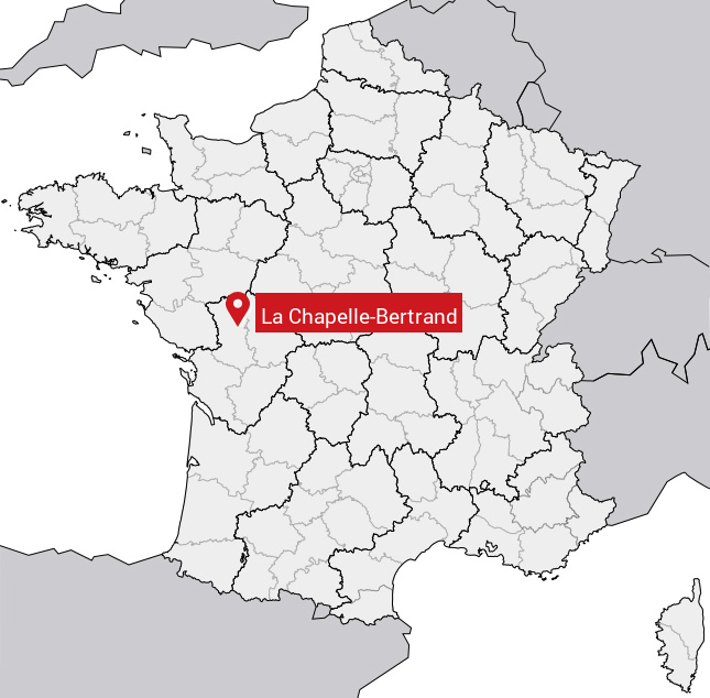
Carte de la Chapelle-Bertrand
Coordonnées GPS de la Chapelle-Bertrand : Latitude 46.618° N · Longitude -0.191° E
Informations sur La Chapelle-Bertrand
Code INSEE : 79071 SOUNDEX : L214163653 METAPHONE : LXPLBRTRNT
Communes aux alentours de la Chapelle-Bertrand
Avis des habitants (0)
Aucun avis. Soyez le premier à laisser votre avis sur La Chapelle-Bertrand.