Présentation de Lothey
Le village de Lothey
est situé dans le département
du Finistère
(29),
en région
Bretagne.
Il
appartient au canton de Briec, et fait parti de la Communauté de communes Pleyben-Châteaulin-Porzay.
Lothey est une commune rurale hors agglomération. Il compte environ 464 habitants pour une superficie de 13.33 km². Son altitude varie entre 12 m et 166 m.
La commune s’inscrit dans un territoire rural à habitat dispersé, caractérisé par des habitations espacées. Sa densité de population est de 35.0 hab./km².
Le prix moyen de l'immobilier à Lothey est de 1140 €/m2.
Les habitants de Lothey se nomment les Lotheyens.
Code postal de Lothey : 29190
Évolution démographique
Localisation de Lothey en France
Département et région : (29) Finistère, Bretagne
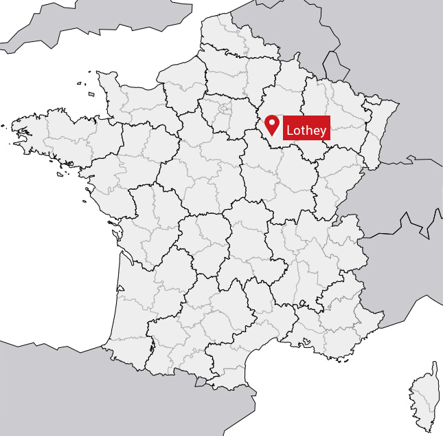
Carte de Lothey
Coordonnées GPS de Lothey : Latitude 48.183° N · Longitude -4.026° E
Informations sur Lothey
Code INSEE : 29142 SOUNDEX : L300 METAPHONE : L0
Communes aux alentours de Lothey
Avis des habitants (0)
Aucun avis. Soyez le premier à laisser votre avis sur Lothey.