Présentation de Saint-Vincent-la-Commanderie
Le village de Saint-Vincent-la-Commanderie
est situé dans le département
de la Drôme
(26),
en région
Auvergne-Rhône-Alpes, anciennement en Rhône-Alpes.
Il
appartient au canton de Vercors-Monts du Matin, et fait parti de la Communauté d'agglomération Valence Romans Agglo.
Saint-Vincent-la-Commanderie est une commune rurale hors agglomération. Il compte environ 595 habitants pour une superficie de 13.27 km². Son altitude varie entre 326 m et 1108 m.
La commune s’inscrit dans un territoire rural à habitat dispersé, caractérisé par des habitations espacées. Sa densité de population est de 45.0 hab./km².
Le prix moyen de l'immobilier à Saint-Vincent-la-Commanderie est de 1518 €/m2.
Code postal de Saint-Vincent-la-Commanderie : 26300
Évolution démographique
Localisation de Saint-Vincent-la-Commanderie en France
Département et région : (26) Drôme, Rhône-Alpes (Auvergne-Rhône-Alpes)
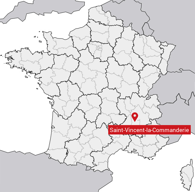
Carte de Saint-Vincent-la-Commanderie
Coordonnées GPS de Saint-Vincent-la-Commanderie : Latitude 44.932° N · Longitude 5.13° E
Informations sur Saint-Vincent-la-Commanderie
Code INSEE : 26382 SOUNDEX : S531525342536 METAPHONE : SNTFNSNTLKMNTR
Communes aux alentours de Saint-Vincent-la-Commanderie
Avis des habitants (0)
Aucun avis. Soyez le premier à laisser votre avis sur Saint-Vincent-la-Commanderie.