Présentation d'Auger-Saint-Vincent
Le village d'Auger-Saint-Vincent
est situé dans le département
de l'Oise
(60),
en région
Hauts-de-France, anciennement en Picardie.
Il
appartient au canton de Crépy-en-Valois, et fait parti de la Communauté de communes du Pays de Valois.
Auger-Saint-Vincent est une commune rurale hors agglomération. Il compte environ 526 habitants pour une superficie de 14.18 km². Son altitude varie entre 73 m et 135 m.
La commune s’inscrit dans un territoire rural à habitat dispersé, caractérisé par des habitations espacées. Sa densité de population est de 37.0 hab./km².
Le prix moyen de l'immobilier à Auger-Saint-Vincent est de 2407 €/m2.
Les habitants d'Auger-Saint-Vincent se nomment les Augerois.
Code postal d'Auger-Saint-Vincent : 60800
Évolution démographique
Localisation d'Auger-Saint-Vincent en France
Département et région : (60) Oise, Picardie (Nord-Pas-de-Calais-Picardie)
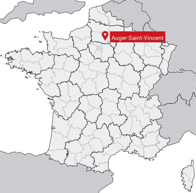
Carte d'Auger-Saint-Vincent
Coordonnées GPS d'Auger-Saint-Vincent : Latitude 49.212° N · Longitude 2.813° E
Informations sur Auger-Saint-Vincent
Code INSEE : 60027 SOUNDEX : A2625315253 METAPHONE : AJRSNTFNSNT
Communes aux alentours d'Auger-Saint-Vincent
Avis des habitants (0)
Aucun avis. Soyez le premier à laisser votre avis sur Auger-Saint-Vincent.