Présentation du Brouilh-Monbert
Le village du Brouilh-Monbert
est situé dans le département
des Gers
(32),
en région
Occitanie, anciennement en Midi-Pyrénées.
Il
appartient au canton d' Auch-1, et fait parti de la Communauté de communes Val de Gers.
Le Brouilh-Monbert est une commune rurale hors agglomération. Il compte environ 240 habitants pour une superficie de 12.86 km². Son altitude varie entre 115 m et 246 m.
La commune s’inscrit dans un territoire rural à habitat dispersé, caractérisé par des habitations espacées. Sa densité de population est de 19.0 hab./km².
Les habitants du Brouilh-Monbert se nomment les Broubertains, Broubertaines.
Code postal du Brouilh-Monbert : 32350
Évolution démographique
Localisation du Brouilh-Monbert en France
Département et région : (32) Gers, Midi-Pyrénées (Languedoc-Roussillon-Midi-Pyrénées)
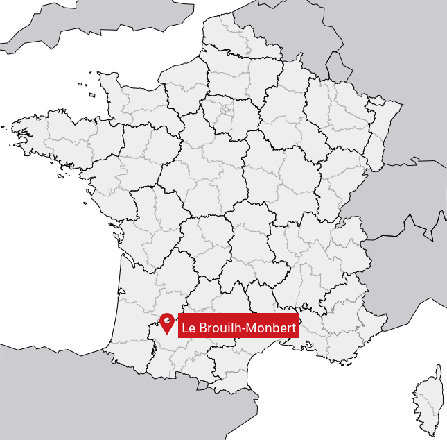
Carte du Brouilh-Monbert
Coordonnées GPS du Brouilh-Monbert : Latitude 43.66° N · Longitude 0.395° E
Informations sur Le Brouilh-Monbert
Code INSEE : 32065 SOUNDEX : L1645163 METAPHONE : LBRLMNBRT
Communes aux alentours du Brouilh-Monbert
Avis des habitants (0)
Aucun avis. Soyez le premier à laisser votre avis sur Le Brouilh-Monbert.