Présentation de la Chapelle-Hugon
Le village de la Chapelle-Hugon
est situé dans le département
du Cher
(18),
en région
Centre-Val de Loire, anciennement en Centre.
Il
appartient au canton de La Guerche-sur-l'Aubois, et fait parti de la Communauté de communes Portes du Berry entre Loire et Val d'Aubois.
La Chapelle-Hugon est une commune rurale hors agglomération. Il compte environ 383 habitants pour une superficie de 16.43 km². Son altitude varie entre 180 m et 225 m.
La commune s’inscrit dans un territoire rural à habitat dispersé, caractérisé par des habitations espacées. Sa densité de population est de 23.0 hab./km².
Code postal de la Chapelle-Hugon : 18150
Évolution démographique
Localisation de la Chapelle-Hugon en France
Département et région : (18) Cher, Centre (Centre-Val de Loire)
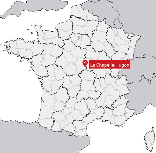
Carte de la Chapelle-Hugon
Coordonnées GPS de la Chapelle-Hugon : Latitude 46.896° N · Longitude 2.954° E
Informations sur La Chapelle-Hugon
Code INSEE : 18048 SOUNDEX : L21425 METAPHONE : LXPLHKN
Communes aux alentours de la Chapelle-Hugon
Avis des habitants (0)
Aucun avis. Soyez le premier à laisser votre avis sur La Chapelle-Hugon.