Présentation de Saint-Caprais-de-Lerm
Le village de Saint-Caprais-de-Lerm
est situé dans le département
du Lot-et-Garonne
(47),
en région
Nouvelle-Aquitaine, anciennement en Aquitaine.
Il
appartient au canton du Le Sud-Est agenais, et fait parti de la Communauté d'agglomération Agglomération d'Agen.
Saint-Caprais-de-Lerm est une commune rurale hors agglomération. Il compte environ 689 habitants pour une superficie de 13.64 km². Son altitude varie entre 58 m et 195 m.
La commune s’inscrit dans un territoire rural à habitat dispersé, caractérisé par des habitations espacées. Sa densité de population est de 51.0 hab./km².
Le prix moyen de l'immobilier à Saint-Caprais-de-Lerm est de 1876 €/m2.
Code postal de Saint-Caprais-de-Lerm : 47270
Évolution démographique
Localisation de Saint-Caprais-de-Lerm en France
Département et région : (47) Lot-et-Garonne, Aquitaine (Aquitaine-Limousin-Poitou-Charentes)
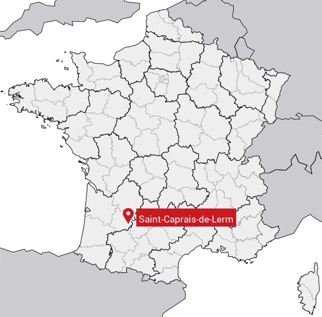
Carte de Saint-Caprais-de-Lerm
Coordonnées GPS de Saint-Caprais-de-Lerm : Latitude 44.215° N · Longitude 0.756° E
Informations sur Saint-Caprais-de-Lerm
Code INSEE : 47234 SOUNDEX : S5321623465 METAPHONE : SNTKPRSTLRM
Communes aux alentours de Saint-Caprais-de-Lerm
Avis des habitants (0)
Aucun avis. Soyez le premier à laisser votre avis sur Saint-Caprais-de-Lerm.