Présentation de Saint-Léger-lès-Paray
Le village de Saint-Léger-lès-Paray
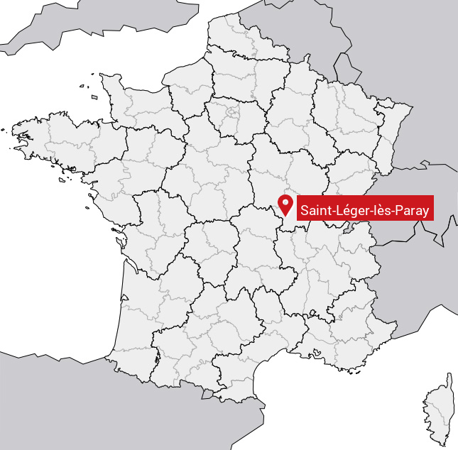
est situé dans le département
de la Saône-et-Loire
(71),
en région
Bourgogne-Franche-Comté, anciennement en Bourgogne.
Il
appartient au canton de Paray-le-Monial, et fait parti de la Communauté de communes Le Grand Charolais.
Saint-Léger-lès-Paray est une commune rurale hors agglomération. Il compte environ 760 habitants pour une superficie de 13.49 km². Son altitude varie entre 234 m et 303 m.
La commune s’inscrit dans un territoire rural à habitat dispersé, caractérisé par des habitations espacées. Sa densité de population est de 56.0 hab./km².
Le prix moyen de l'immobilier à Saint-Léger-lès-Paray est de 1544 €/m2.
Code postal de Saint-Léger-lès-Paray : 71600
Évolution démographique
Localisation de Saint-Léger-lès-Paray en France
Département et région : (71) Saône-et-Loire, Bourgogne (Bourgogne-Franche-Comté)
Carte de Saint-Léger-lès-Paray
Coordonnées GPS de Saint-Léger-lès-Paray : Latitude 46.485° N · Longitude 4.116° E
Informations sur Saint-Léger-lès-Paray
Code INSEE : 71439 SOUNDEX : S534264216 METAPHONE : SNTLJRLSPR
Communes aux alentours de Saint-Léger-lès-Paray
Avis des habitants (0)
Aucun avis. Soyez le premier à laisser votre avis sur Saint-Léger-lès-Paray.